Location-based Scanning
Location-based scanning (LBS) allows you to control which systems/sites and channel groups are scanned based on your exact location. This frees you from having to manually enable and disable systems or channel groups as you change location. To explain the operation simply, LBS uses the scanners lockout function to control what is scanned based on your location. It unlocks systems, sites, or channel groups when you are inside a the element's radius. When you exit the radius, the element is temporarily locked out. Since the element is temporarily locked out, all elements are scanned when you first power on the scanner, until the GPS gets a location fix and starts reporting coordinates. To use Location-Based scanning, you need to have the following:- the location for the center point for each system/site or channel group you want to control
- the radius or distance from the center point you want to set as the range for each system/site or channel group
- if you are scanning while traveling, you may want to include the heading (direction) of travel
- some type of mapping method. If you don't want to use paper maps, you might try a mapping software (such as Microsoft® Streets and Trips or Delorme® Street Atlas) that allows you to draw markings and overlays on maps.
- a GPS receiver with a serial data output (NMEA)
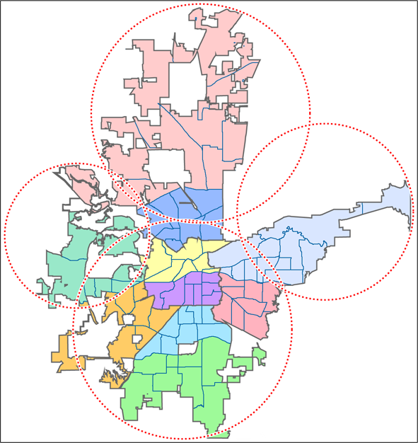
The Geopolitical Approach
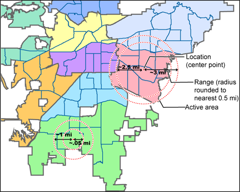
 On the other hand, if you sub-divide the area, you may end up with areas that are not covered:

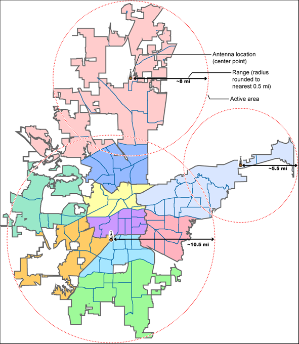
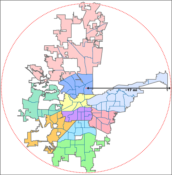
The Antenna-Centric Approach
Using an antenna-centric approach, you set the physical antenna location as the system/sites center point and the antenna's actual reach as the range.
Finding an antenna location
You can find the physical location of antennas using the databases available at Radio Referenceor the FCC's Antenna Structure Registration site. Both sites list the latitude, longitude, and height of the antenna, and both sites can map the exact location for you. (Radio Reference is more user-friendly, so it's easier to find what you're looking for.)Combining for Efficiency

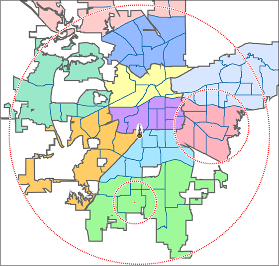
- Use the antenna centric approach at the site level: set the geographic coordinates of the antenna as the central location for each site.
- Use the geopolitical approach at the channel group level. Within the same system, set up a channel group for each agency, and set the central point of the agency territory as the group location.
See Also
Connecting a GPS receiverProgramming locations
| This page applies to the following scanner(s): BCD996XT BCT15X BCD396XT BC346XT BC346XTC Users Guide |

